 Data Coverage - [source code]
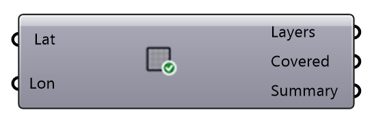
What Eddy3D can fetch for a site before anything is fetched: one line per layer — buildings, roof shapes, terrain, fine terrain, point cloud, tree crowns, land cover, climate, natural hazards — with its provider, detail, licence and whether it covers this site. Worldwide providers always do; LiDAR (AHN in the Netherlands, USGS 3DEP in the United States) by position; the weather catalogue by its nearest station. Use it to plan the site model and see where you will have to bring your own data (a LAS/LAZ file, a survey, an EPW).
Input
| Name | Nickname | Description | Type |
|---|---|---|---|
| Latitude | Lat | Site latitude, degrees (north positive). | Number |
| Longitude | Lon | Site longitude, degrees (east positive). | Number |
Output
| Name | Nickname | Description | Type |
|---|---|---|---|
| Layers | One line per layer: layer | provider | detail | licence | state | note. | Text | |
| Covered | Per layer: whether a provider covers this site. | Boolean | |
| Summary | How many layers are covered, and which are not. | Text |