 Noise Receivers - [source code]
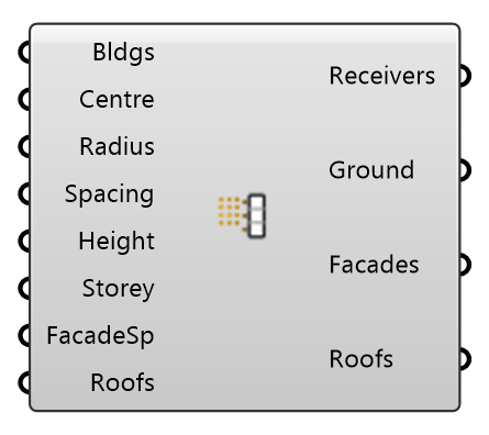
Where the levels are asked for: a ground grid inside a disc at pedestrian height (1.5 m; set 4 m to match an END strategic map), and a point in front of every facade at every storey of the buildings wired in. Facade levels are free-field, without the reflection off the facade they stand before, as CNOSSOS and the END define them.
Input
| Name | Nickname | Description | Type |
|---|---|---|---|
| Buildings | Bldgs | Building solids (Breps, extrusions, meshes) or closed footprint curves. Facade receivers are placed around each; the ground grid leaves out what is inside. Branches are flattened. | Geometry |
| Centre | Centre of the study disc. | Point | |
| Radius | Radius of the study disc, m. | Number | |
| Spacing | Ground grid spacing, m. 2 m gives ~17,000 points on a 150 m disc; 5 m is a quick look. | Number | |
| Height | Height of the ground grid above the terrain, m: 1.5 for a pedestrian, 4 for an END map. | Number | |
| Storey Height | Storey | Vertical spacing of the facade receivers, m; the first sits 1.5 m above the building's base. | Number |
| Facade Spacing | FacadeSp | Spacing of the receivers along each facade, m. | Number |
| Roofs | Also place receivers over each roof, at Facade Spacing and Height above it (a roof terrace, a rooftop plant). | Boolean |
Output
| Name | Nickname | Description | Type |
|---|---|---|---|
| Receivers | The receiver set, for Noise Run. | Generic Data | |
| Ground Points | Ground | The ground grid, to preview. | Point |
| Facade Points | Facades | The facade receivers, to preview — drawn on the wall; the receivers themselves stand 2 m in front of it. | Point |
| Roof Points | Roofs | The roof receivers (when Roofs is on), to preview. | Point |