 Fisheye View - [source code]
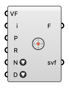
Equal-angle fisheye of the hemisphere above one sensor, as a colored mesh — a flat disk or a 3D dome (Display dropdown): sky, building, ground and vegetation per direction, plus the sensor's cosine-weighted sky view fraction.
Input
| Name | Nickname | Description | Type |
|---|---|---|---|
| VF Model | VF | Solved model from MRT View Factors (geometry + sensors). | Generic Data |
| Sensor | i | Sensor index (0-based, in MRT Sensors order). | Integer |
| Plane | P | Where to draw the disk. Unconnected: horizontal at the sensor, +Y = north. | Plane |
| Radius | R | Disk radius in model units. | Number |
| Rings | N | Zenith rings of the fisheye grid (sectors are 4x this). More rings = crisper silhouettes, more rays. Pick a preset or type/wire any number (clamped to 4-90). | Text |
| Display | D | How to draw the view: Disk (flat equal-angle fisheye — center zenith, rim horizon) or Dome (the same cells on a 3D hemisphere of the given Radius over the plane, so each patch sits in the actual direction the sensor sees it). | Text |
Output
| Name | Nickname | Description | Type |
|---|---|---|---|
| Fisheye | F | The colored fisheye disk: light blue = sky, gray = building, tan = ground, green = vegetation/tree. | Mesh |
| SVF | svf | Cosine-weighted sky view fraction of the hemisphere (1 = fully open sky). | Number |